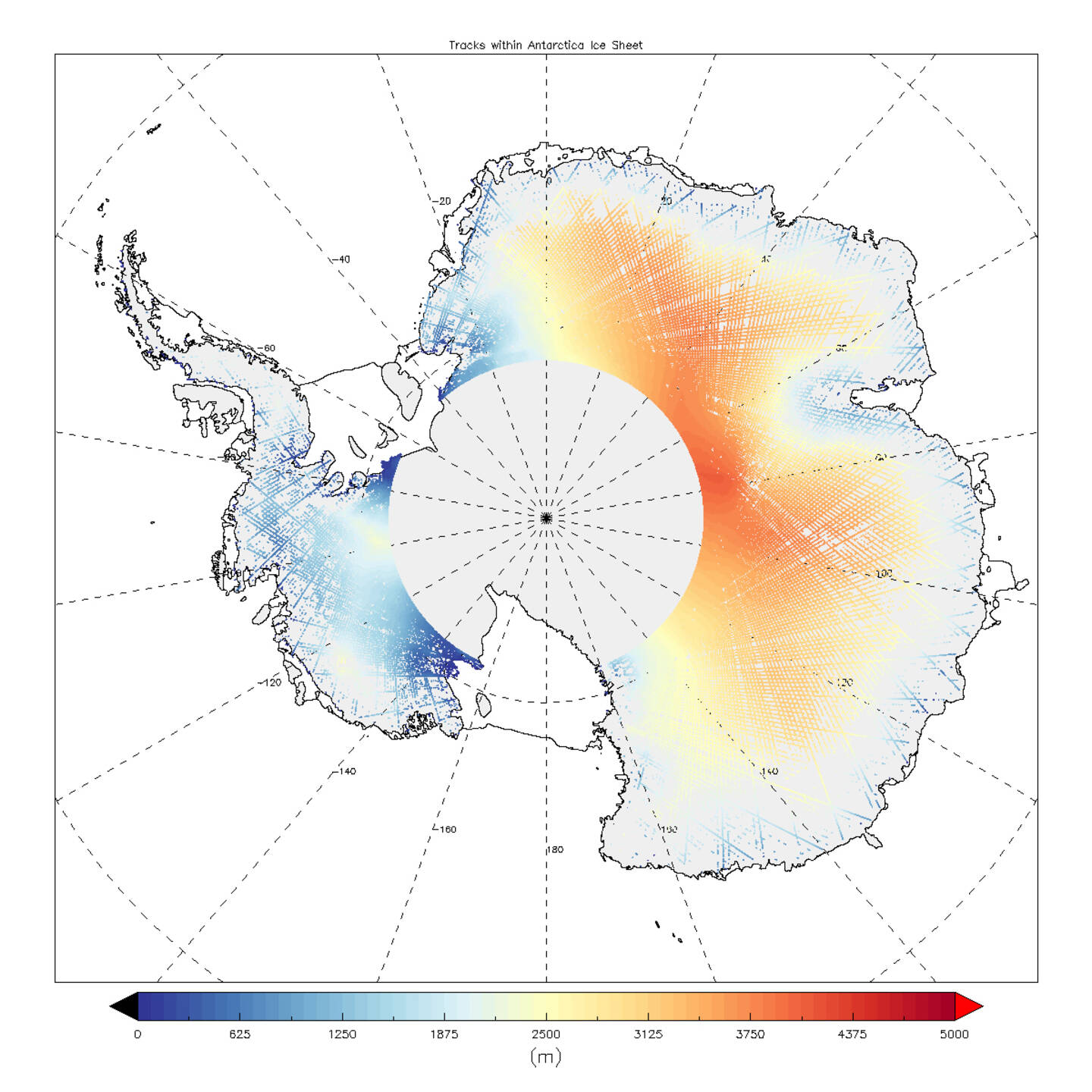
Contains modified Copernicus Sentinel-3A satellite data (2015), processed by UCL–MSSL European Space Agency (ESA) and European Organisation for the Exploitation of Meteorological Satellites (Eumetsat).
As the image of Antarctica shows, a new radar altimeter on the Sentinel-3A satellite is important for measuring changes in the height of land ice. The data may seem relatively sparse at the moment, but this is because they only show a few days’ readings. Accurately measuring changes in the height of the huge ice sheets that blanket Antarctica and Greenland is important for climate research and understanding sea-level rise. December 12, 2016.